For review today I’ve got two products. You can buy Microsoft Streets and Trips 2010 by itself or few a few dollars more you can get a GPS receiver with it. Today I have the bundle for review. Streets and Trips by itself is a great program for helping you find places and get directions, but if you pair it with a GPS receiver you will turn your computer into a full fledged navigation system that will help you do more than just get from point A to point B. I’ve installed the software and hooked up the GPS to my netbook and took it for spin, so read on to learn more..
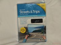
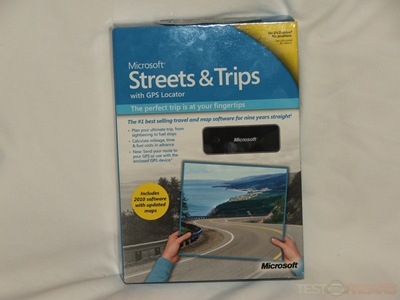
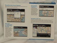
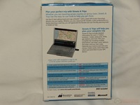
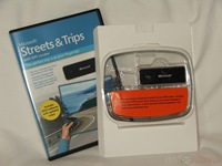
Microsoft Streets & Trips with GPS Locator 2010 comes in a box as you might expect. The front opens up to show you more information about it.
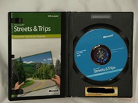
Inside you’ll find the GPS receiver along with the software.
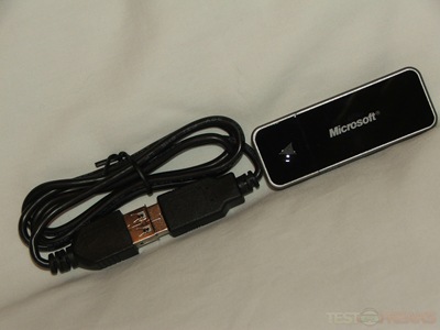
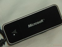
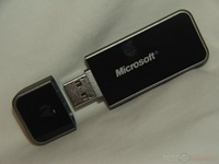
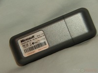
The GPS receiver itself looks just like a flash drive, the cap comes off, and included is a USB cable as well.
Specifications:
Microsoft Streets & Trips with GPS Locator 2010
Microsoft Streets & Trips with GPS Locator pairs the trip-planning features of Streets & Trips software with a compact, cable-free Global Positioning System (GPS) receiver. This device plugs directly into your laptop and when used with Streets & Trips gives you spoken driving guidance plus automatic rerouting if you miss a turn, making it easier to navigate with confidence.
Price: $69.95 ERP
More Ways to Customize Your Travel
Streets & Trips can calculate your mileage, time, and fuel expenses in advance so you know when you will arrive and how much it will cost you to get there. Set your driving preferences— such as how frequently you want to make a rest stop, what hours you want to drive, or even if you want to avoid driving on busy interstates—to create your ultimate trip.
Make Your Trip Your Own
Plan your perfect trip including multiple destinations, rest stops, scenic detours, fuel stops, and more. Personalize your maps with comments, phone numbers, and notes about planned stops for easy reference. With one click, you can optimize your route to save time and money.
For my testing of the GPS and the software I installed it on my OCZ Neutrino netbook. It’s small and portable so I thought that would make the perfect choice.
Installation is easy, just follow the prompts and you’re done.
One I got everything up and running I ran into my first problem with the GPS device itself. The netbook had to sit on the passenger seat of my car and the supplied USB cable in only about two feet long, nowhere near long enough to reach the dashboard from the seat in my 2009 Subaru Forester. The design though of my car has the window actually going farther back over the seat so the seat is under the part of the window so the GPS can be exposed, but the connectivity is spotty this way as it only leaves a small view of the sky. To solve this I just grabbed another USB extension cable and connected them together, problem solved, or so I thought. Now the GPS receiver does reach the dashboard but it slides around and eventually just falls off the dash onto the floor losing the GPS signal. Getting a third USB cable solves the problem by allowing me to wedge the receiver between the window and the dashboard, not a very elegant solution but it works, at least for me. Microsoft would wise to include some sort of holder or maybe just a suction cup attachment for the GPS receiver.
Since my netbook sits on the passenger seat it’s rather difficult to see the screen while driving, you’ll have to take our eyes off of the road to check the make or to look for your next turn. Taking your eyes off of the road is not recommended. Luckily though in Streets and Trips 2010 you do get voice navigation with spoken directions. if you can deal with only listening to the directions then you’ll be fine. Using this type of navigation is much different if you’ve ever something like a TomTom or Garmin that get affixed to your dashboard or window.
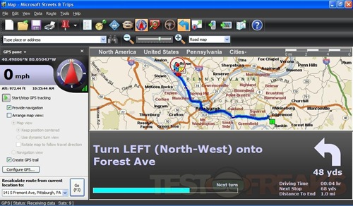
You can configure the GPS window in several ways by adding or removing panes. Here’s a basic view, without the text directions which you can make viewable. The map can also be zoomed in and out as well if you wish to get a closer view. Under the map is your directions or turns you’ll need to make, it’s in text and there’s an arrow pointing in the direction you’ll need to turn, beneath that arrow is how far until the turn. At the bottom of the interface is a progress bar that lets you know how long visually until the next turn, beside that is Driving Time, Next Stop, and Distance to End. To the left side is GPS information like speed and altitude, longitude and latitude, along with a compass.
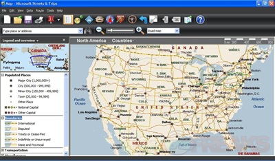
The Map view has four different modes, Road Map, Terrain Map, Political Map and a Night Map. Personally I don’t get why there’s a political map there?!? No, it’s not really a Political map in the way we think of politics, it just shows you boundaries of cities, counties, state and national boundaries as well as borders.
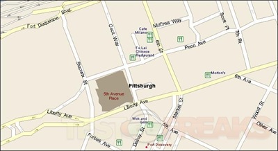
The map also can you lots of information like Points of Interest and can be zoomed in to street level if need be. On the top bar is an icon that looks like a map with a green pin stuck in it, that icon will allow you to automatically connect to the internet and show your place on Bing maps, which is a nice touch really.
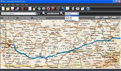
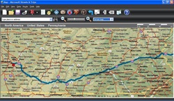
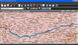
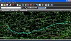
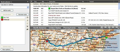
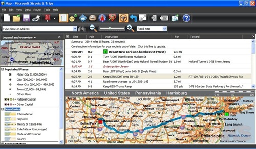
Here’s a couple example of a route I planned for going from New York to Pittsburgh:
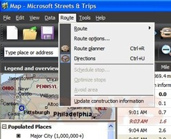
You might notice also that you can have your route adjusted for construction delays as well, which is a nice feature but you’ll have to be able to access the internet to get the information.
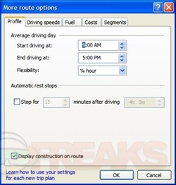
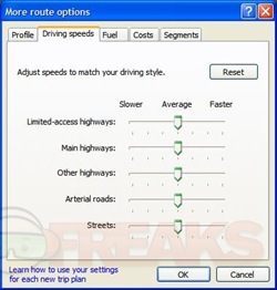
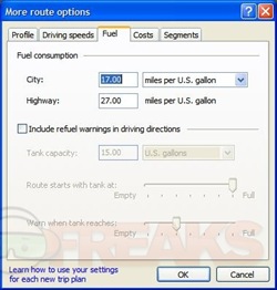
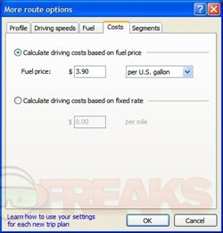
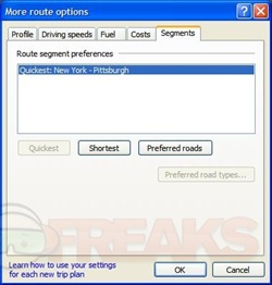
While planning your trip you’ve also got a few other options, or things you can factor in to your trip expenses. Under Route Options you’ll find choices for Profile, Driving Speeds, Fuel, Costs and Segments.
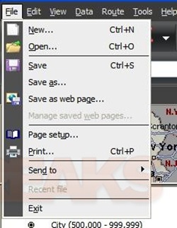
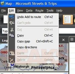
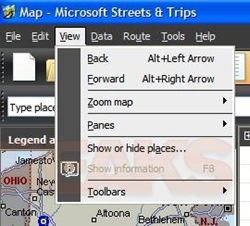
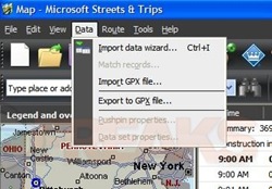
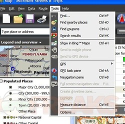
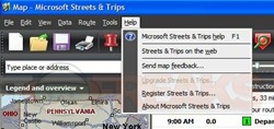
Here’s the drop down menu options, there’s choices for File, Edit, View, Data, Route, Tools and Help.
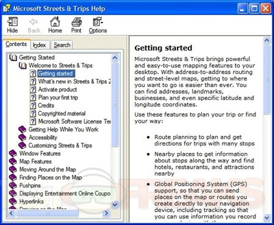
You can access help from the menu options of hit the big blue question mark. There’s quite a bit of information listed in the help file to get you started and navigating.
One of the strong points of this product is also one that makes it a bit overcomplicated. There’s an abundance of options that makes using it just for GPS a bit overcomplicated. Yes it’s nice to have access to all of that information but for someone who just wants a GPS device for directions, you might be better off with getting a stand alone unit. That’s not saying this is a bad product though, it just can be a bit overwhelming for someone who just wants directions from point A to point B.
As far as the actual GPS receiver it works fine for what you need to do. Acquisition is fairly fast, and it’s able to keep a signal as long as you can keep the receiver in view of the sky.My stand alone TomTom is faster at acquisition but not much really. The GPS tracking works well, it seems just as accurate as my TomTom One Xl-S is, but it seems a bit slower overall in terms of tracking your position.
Getting to and from using Street and trips 2010 is like other GPS devices, it works but it won’t replace your own knowledge of your local streets. What I mean is that it doesn’t know really which time of the day traffic is backed up where, and it doesn’t know when you’re sure to be stuck behind a school bus. This isn’t the fault of this product though, it’s the same with any GPS device.
I checked over at Amazon and found this bundle selling for only $59.99. Buying Streets and Trips 2010 alone will cost you $37.99, so for less than $20 more you get a GPS receiver as well, not a bad deal really.
Conclusion:
Streets and Trips 2010 is a feature rich choice for your navigation needs, there’s plenty of options to make your trip easier, more economical and even fun. Turn by turn navigation is comparable to other GPS devices and the GPS receiver is more than adequate for your navigation needs.
There are two main issues I’ve got with this products, or the GPS receiver actually. The first is the USB cable to way to short to even be usable really. The second problem is that there is nothing included to secure the unit in your car to make sure you’ve got a GPS fix at all times.
Pros:
+GPS Receiver works well
+Streets and Trips 2010 is much more than just GPS software
+Can use GPS receiver with other devices
+Affordable
Cons:
-USB cord is short
-Lots of things to do can make it overly complicated for just GPS navigation
-Can’t secure GPS receiver anywhere really
| Grades: | |
| Overall |  |
| Design |  |
| Performance |  |
This product was given to technogog for review by the company for review purposes only, and is not considered by us as payment for the review, we do not, and never will, accept payment from companies to review their products. To learn more about our review policy please visit this page HERE.




14 comments for “Microsoft Streets & Trips 2010 with GPS Locator”